Unlocking the Power of Drones: Exploring Thermal Mapping and Its Applications
In recent years, drones have revolutionized various industries with their ability to capture aerial imagery and data.
Among the myriad of applications, thermal mapping stands out as a powerful tool with wide-ranging implications across sectors such as agriculture, construction, environmental monitoring, and public safety.
In this blog, we delve into what thermal mapping with drones entails and how it is transforming industries worldwide.
Understanding Thermal Mapping with Drones
Thermal mapping involves the use of specialized cameras mounted on drones to capture infrared radiation emitted by objects and surfaces. Unlike traditional cameras that capture visible light, thermal cameras detect heat signatures, enabling the creation of thermal maps or images. These maps represent temperature variations across a given area, offering valuable insights into the thermal characteristics of landscapes, infrastructure, and objects.
Applications Across Industries
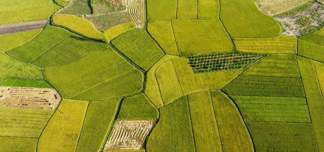
Agriculture: One of the most significant applications of thermal mapping in agriculture is crop health monitoring. By analyzing thermal maps, farmers can identify areas of stress or disease within crops, enabling targeted interventions such as irrigation or pest control. Additionally, thermal imaging helps assess soil moisture levels and optimize irrigation practices, ultimately improving crop yields and resource efficiency.

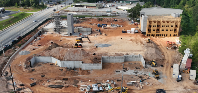
Construction and Infrastructure: In the construction industry, thermal mapping plays a crucial role in identifying structural issues and detecting energy inefficiencies in buildings. By conducting thermal inspections of buildings and infrastructure, construction professionals can pinpoint areas of heat loss, moisture intrusion, or faulty insulation, leading to more effective maintenance and energy-saving measures.

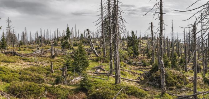
Environmental Monitoring: Thermal mapping contributes to environmental conservation efforts by monitoring ecosystems, wildlife habitats, and natural resources. For instance, in forestry, drones equipped with thermal cameras can detect variations in vegetation health and identify potential forest fires or invasive species. Similarly, in marine environments, thermal mapping aids in monitoring ocean temperatures, detecting pollution, and studying marine wildlife migration patterns.

Public Safety and Emergency Response: Thermal mapping has become an invaluable tool for public safety agencies and emergency responders. In search and rescue operations, drones equipped with thermal cameras can locate missing persons or detect survivors in disaster scenarios, even in low-visibility conditions.
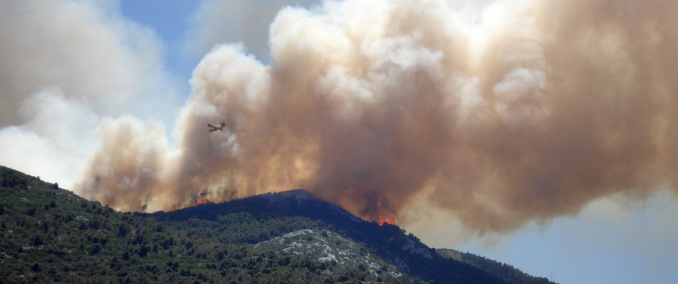
Furthermore, thermal imaging helps firefighters identify hotspots during wildfires or structural fires, enabling more efficient firefighting strategies.

Challenges and Considerations
While thermal mapping with drones offers numerous benefits, several challenges and considerations must be addressed for its effective implementation:
Regulatory Compliance: Operating drones for thermal mapping purposes requires adherence to aviation regulations and obtaining appropriate licenses or permits.
Compliance with privacy laws and regulations is also essential, especially when conducting thermal inspections in residential or urban areas.
Weather Conditions: Weather conditions such as wind, rain, and temperature variations can affect the quality and accuracy of thermal mapping.
Calibrating thermal cameras and accounting for environmental factors are crucial for obtaining reliable thermal data.
Data Processing and Analysis: Processing and analyzing thermal data captured by drones require specialized software and expertise.
Effective interpretation of thermal maps necessitates understanding thermal physics, radiometry, and image processing techniques.
Cost Considerations: Investing in drone technology and thermal imaging equipment involves significant upfront costs.
Organizations must weigh the benefits against the expenses and consider factors such as maintenance, training, and insurance.
Conclusion
Thermal mapping with drones is a versatile and powerful technology with diverse applications across industries.
From optimizing agricultural practices to enhancing public safety and environmental monitoring, thermal imaging provides valuable insights into temperature variations and thermal characteristics of landscapes and infrastructure.
As drone technology continues to evolve and become more accessible, the potential for thermal mapping to drive innovation and efficiency across sectors is boundless.
By leveraging the capabilities of drones and thermal imaging, organizations can unlock new opportunities for data-driven decision-making and sustainable development.

EVC Drone Solutions
Copyright © 2024 EVC Drone Solutions, LLC . All Rights Reserved.
